At SBF, we use geospatial planning throughout all of our core services. With this technology we can identify problems, manage and respond to events, set priorities, monitor change, forecast and understand trends.
What is GIS?
A geographic information system is a system that creates, manages, analyzes, and maps all types of data. GIS connects data to a map, integrating location data (where things are) with all types of descriptive information (what things are like there). This provides a foundation for mapping and analysis that is used in science and almost every industry. GIS helps users understand patterns, relationships, and geographic context. The benefits include improved communication and efficiency as well as better management and decision making. -From ESRI Website
With this technology we can identify problems, manage and respond to events, set priorities, monitor change, forecast and understand trends. For the forester, this could translate to identifying insect and disease outbreaks, managing and responding to wildfire, setting priorities for key wildlife species, monitoring change in recreational patterns, forecasting timber value and understanding seasonal weather patterns.
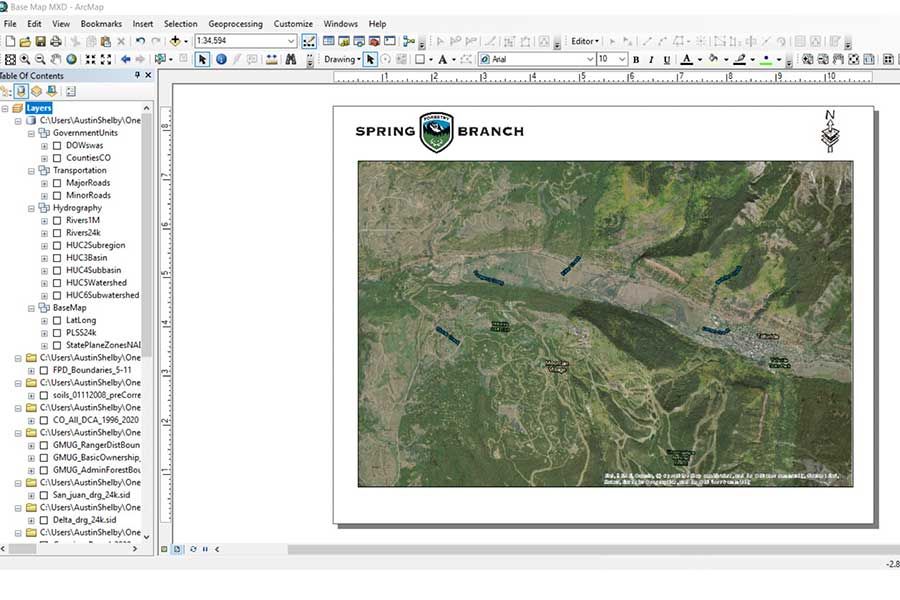
We utilize technology from leading geospatial programs like ESRI ArcGIS Pro, OnX Maps, Avenza Pro and Google Earth Pro. Contact us to assist with your mapping and geospatial needs.

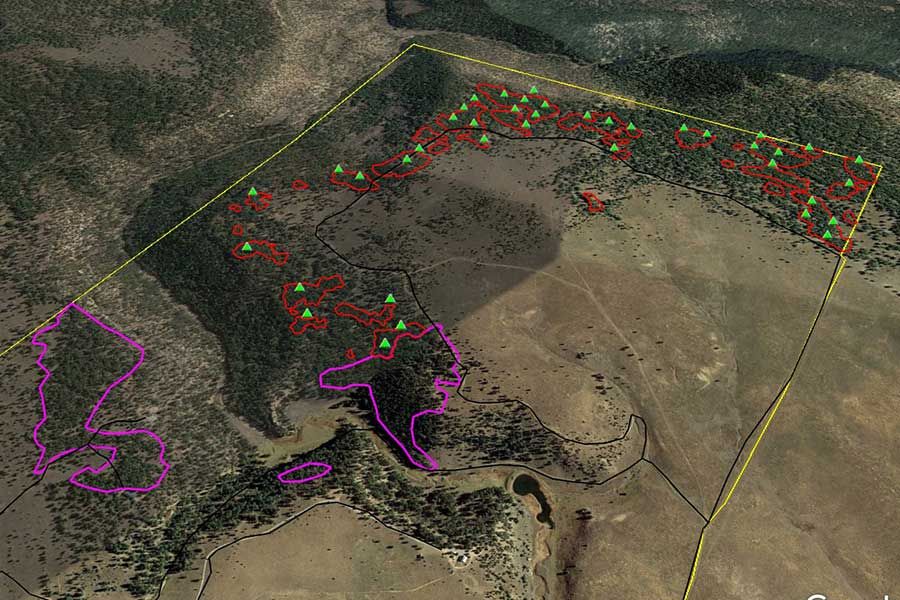
Forest Stand, Treatment and Project Delineation

Geospatial Resource Inventory

SBF Utilizes Cutting Edge Geospatial Software
The company Environmental Systems Research Institute (ESRI) is the worldwide leader in geospatial technology. They describe Geographic Information Systems (GIS) technology as “the science of where”. When it comes to natural resource management, the skilled forester should always be actively considering “the science of where”.
GIS & Mapping Services
SBF Offers
Geospatial Planning
When taking on a landscape scale forestry project, one of the first steps a forester should take to guide management is to quantify and stratify forest stands by characteristics to compare statistics such as age, species richness and diversity, usage, productivity, mortality, fire occurrence, protection, etc. This information is then used to set thresholds that guide management. SBF utilizes modern GIS technology throughout this process.
Custom Map Drafting
Drafting a map is as much a form of art as it is a science. A map must be useful and easy to read by the interpreter. It must articulate the information it is meant to convey without being busy or confusing. It must portray accurate information at a usable scale. Let SBF assist in your custom map drafting needs.
Home Site Planning & Development Consultation
Are you new to the area and considering building a home on your parcel? Are you a developer looking to maximize profits by considering forest value and risk when considering parcel and commonspace arrangement? SBF is available to help our clients with site planning efforts through geospatial planning services.
Forest Stand, Treatment & Project Delineation
SBF is happy to assist with geospatial forest project layout and project boundary delineation. We also offer technical services that “ground truth” or “georeference” project boundaries for accuracy.
Geospatial Resource Inventory
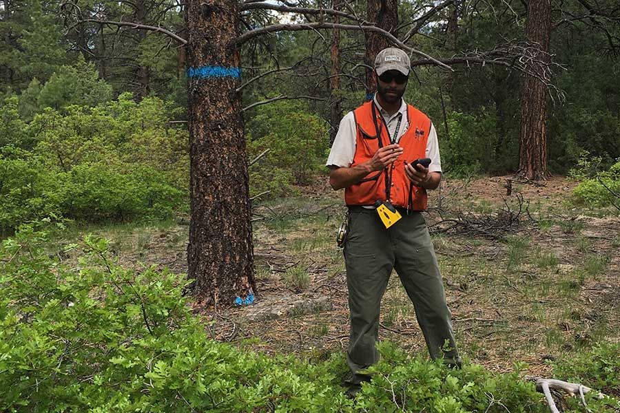
Questions like “where”, “why” and “how much of” are common throughout natural resource disciplines and management scenarios. Geospatial resource inventory can provide insight into maintenance and management of improvements or resources of value. For instance, our clients may need to know how many trees to cut or retain, where there is access by log truck to a particular area, how much of our fencing system is no longer wildlife friendly or in need of repair, which trees are in need of pruning and where are they located? SBF is equipped to answer the questions of where, why and how much of- through cutting edge geospatial resource inventory services.
Recreational Planning
At SBF, we can assist our clients with multiple use recreational management considerations that specifically address recreational planning through our geospatial services. For instance, we can help identify and map past, present and future road and trail systems for multiple use travel. Other examples include custom hunting map drafting to common space usage considerations for HOAs or developers.